History and Development of Abram, Texas
By: Robert E. Norton
Published: 1952
Updated: September 20, 2023
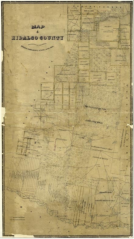
Abram is on Farm Road 1427, a mile north of the Rio Grande and five miles southwest of Mission in southwest Hidalgo County. The site was near the route of the original military highway from Brownsville to Fort Ringgold and was on part of the common grazing grounds of old Reynosa, Tamaulipas. Later the Ojo de Agua ("Watering Hole") Ranch was established on the site. The community was named for Abram Dillard, Texas Ranger and prominent citizen of the area of Ojo de Agua Creek. An Abram post office was established in 1901. In 1904 the railroad was built a few miles to the north to avoid river flooding. In 1914 the settlement had fifty residents and three businesses. On September 3, 1915, Abram was the site of a skirmish between United States Cavalry troops and bandits. Through the 1930s and 1940s the population was seventy-five. In the 1950s and 60s the population was between 100 and 125 inhabitants. A colonia developed beside Abram over two or three decades; in 1990 its 927 residents lived in 206 dwellings and received water from the La Joya Water District. In 1990 Abram and the colonia had an estimated total population of 3,999. The colonia is variously called Abram, Ojo de Agua, or Chapa Joseph. In 2000 the community was listed as Abram-Perezville and had a population of 5,444.
Bibliography:
Colonias in the Lower Rio Grande Valley of South Texas: A Summary Report (Policy Research Project Report No. 18, Lyndon B. Johnson School of Public Affairs, University of Texas at Austin, 1977). Winnie Maddox, History of the Donna Community (M.A. thesis, Texas College of Arts and Industries, 1955). J. Lee and Lillian J. Stambaugh, The Lower Rio Grande Valley of Texas (San Antonio: Naylor, 1954).
Time Periods:
Places:
The following, adapted from the Chicago Manual of Style, 15th edition, is the preferred citation for this entry.
Robert E. Norton, “Abram, TX,” Handbook of Texas Online, accessed March 09, 2026, https://www.tshaonline.org/handbook/entries/abram-tx.
Published by the Texas State Historical Association.
TID:
HRA04
- 1952
- September 20, 2023
This entry belongs to the following special projects: