Lake Meredith: A Comprehensive Overview of the National Recreation Area
Published: 1976
Updated: February 1, 1995
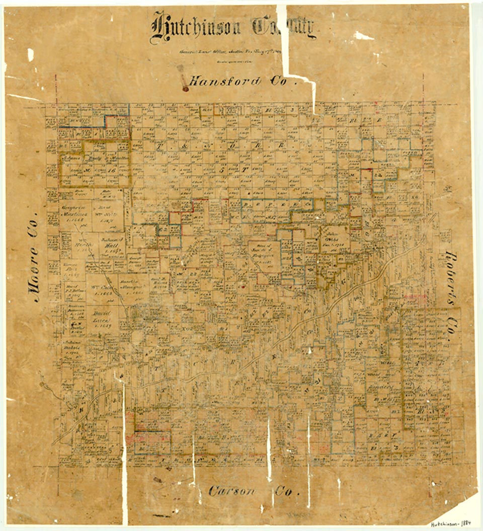
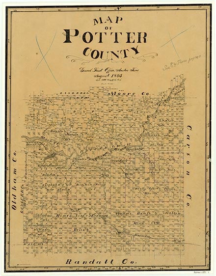
Lake Meredith is on the Canadian River ten miles west of Borger in Hutchinson County. The lake is impounded by Sanford Dam and extends into Moore and Potter counties. A. A. Meredith, former Borger city manager, devised the project, which was built and financed by the federal government under the jurisdiction of the Bureau of Reclamation and is owned and operated by the Canadian River Municipal Water Authority. Construction of Sanford Dam began on March 11, 1962, and was completed in 1965. Lake Meredith supplies water to eleven West Texas cities: Amarillo, Borger, Brownfield, Lamesa, Levelland, Lubbock, O'Donnell, Pampa, Plainview, Slaton, and Tahoka. A. A. Meredith died of cancer in April 1963, two years before the project's completion. The lake that bears his name has a total storage capacity of 1,407,600 acre-feet and a surface area of 21,640 acres at an elevation of 2,965 feet above mean sea level. Water is diverted, filtered, treated, and pumped to area cities and towns for municipal supply. The pumping plants and pipelines made up a major part of the project's total estimated cost of $103,230,000. Though the total drainage area of the Canadian River above Lake Meredith is 20,220 square miles, the actual drainage area contributing to the lake is only 9,090 square miles. Since 1965 the reservoir has been under the administration of the National Park Service. In 1972 Sanford Recreation Area, as it was called, was renamed Lake Meredith National Recreation Area. Several resort communities, including Sanford, Lake Meredith Estates, and Bugbee Heights, lie just outside the park boundaries. Archeological traces of prehistoric Indians, most notably the Alibates Flint Quarries, dot the lake area. The remains of Amos McBride's stone ranch house, dating from the 1870s, are in McBride Canyon on the southeastern side of the lake. This historic structure is located in Potter County beside an environmental study area.
Bibliography:
The following, adapted from the Chicago Manual of Style, 15th edition, is the preferred citation for this entry.
Anonymous, “Lake Meredith,” Handbook of Texas Online, accessed March 09, 2026, https://www.tshaonline.org/handbook/entries/lake-meredith.
Published by the Texas State Historical Association.
TID:
ROL55
- 1976
- February 1, 1995